Chirripó National Park
WILD ANIMALS AND BIG MOUNTAINS IN THIS NATIONAL PARK
Founded in 1975, Chirripó National Park has one of the highest mountains in Central America: Cerro Chirripó, with 3,820 meters above sea level. The park, with an area of 50,920 hectares, is located in the Talamanca Mountain Range, which with its 320 kilometers in length is the largest in Costa Rica. Its altimetry, climatic and edaphic variations give rise to one of the most ecologically diverse areas of Costa Rica.
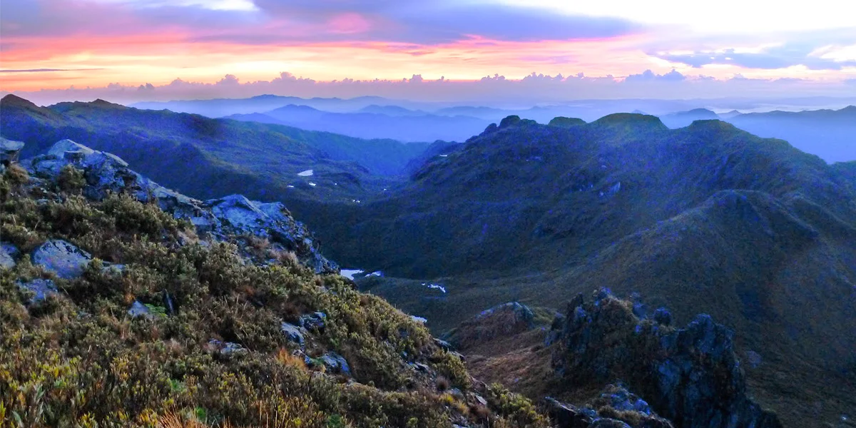
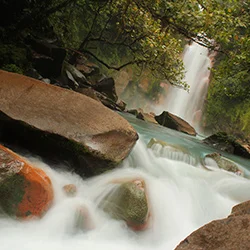
To get to the park you must travel to San Gerardo de Rivas and from there you start the walk through this wilderness area that has different life zones ranging from 1,400 meters on the slopes of the Caribbean and Pacific, to 3,821 meters, in the summit of Cerro Chirripó, from where on clear days you can see the Caribbean and Pacific coasts. In the Chirripó you can find modeled and varied glacial forms, such as U-shaped valleys, lagoons (moraines) and terraces.
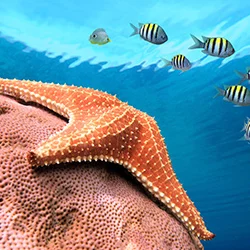
The park is a refuge for a large number of wild animals such as tapirs, jaguars, quetzals and goldfinches, among others. Bird watching is possible in the different altitudinal floors of the park.
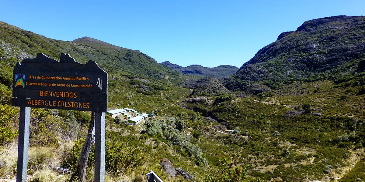
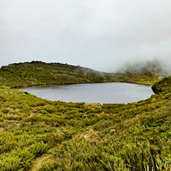
In the upper part of the park, over 3,000 meters above sea level, the visitor finds exceptional landscapes which scenic beauty has become a great value and attraction for adventure and recreational tourism, even reaching a mystic interest for many visitors. It has a comfortable hostel for visitors, located in the Los Crestones Valley at 3,400 meters above sea level.
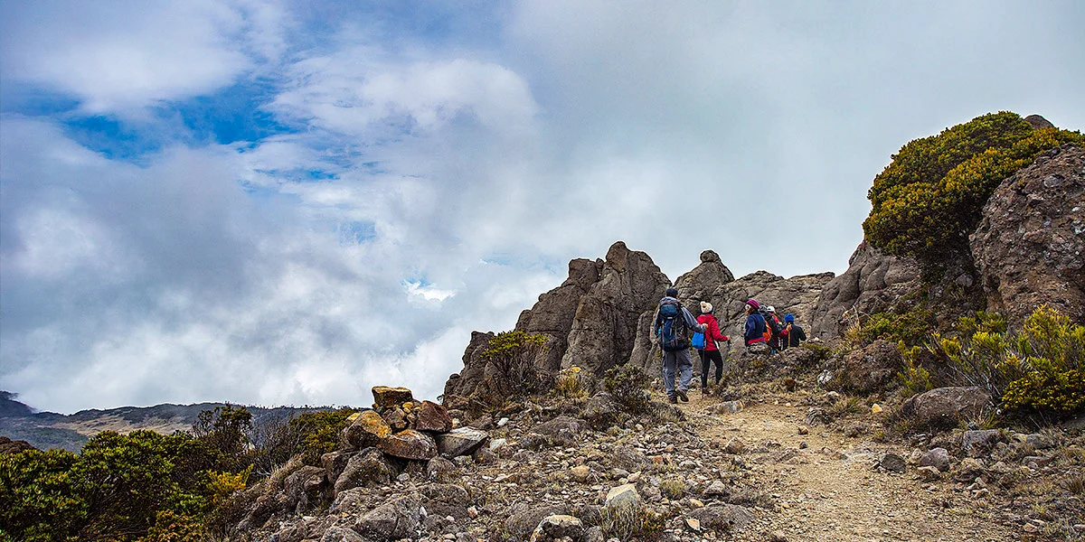
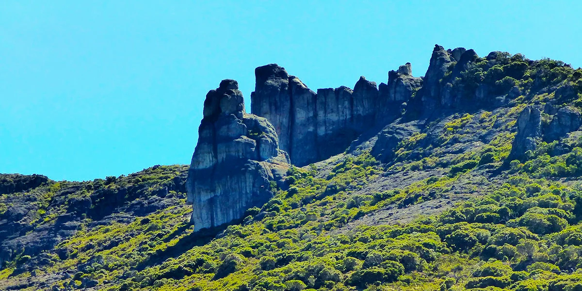
The Chirripó National Park is home to more than 30 lakes of glacial origin, glacial circles such as the Valley of the Rabbits; characteristic rock formations such as Los Crestones and a scrub vegetation typical of the paramo ecosystem. All these attractions have awakened the passion of many to complete the ascent to the highest point and roof of Costa Rica, challenge for which you must do long walks, withstand low temperatures and freezing winds, carrying backpacks on your back.
The park offers information for visitors, park ranger housing, trails, signage, sanitary services, drinking water, several natural viewpoints, and lodging.
GEOPOSITION
Chirripó National Park
Beaches of Guanacaste
Masaya National Park
RECOMMENDED TOURS
The best of Nicaragua, Costa Rica and Panama
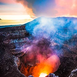
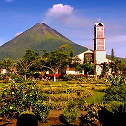
Volcanoes, National Parks, immense beaches, thermal waters... a tour that you will never be able to forget.
Grayline Costa Rica and Nicaragua
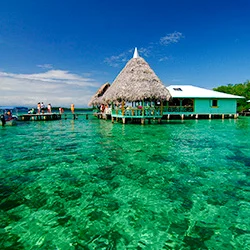
Culture and nature surround you in this tour across Costa Rica and Nicaragua where you will get to know the most emblematic sites and will enjoy the Pacific Ocean.
Authentic Costa Rica and Nicaragua
Visit volcanoes, discover the culture, and enjoy the beaches. A truly wonderful experience.
Discovering Central America
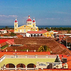
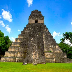
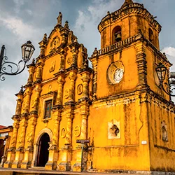
On this trip through four Central American countries, you will visit the most impressive Mayan ruins, the best natural resources, and their colonial cities.
Central America Highlights
Discover nature, colonial cities, the Mayan legacy, and the way of life in Guatemala, Honduras, El Salvador and Nicaragua.